Welcome to Hassop
CLICK FOR 2021 CENSUS DATAIntroduction
If difficulties persist, please contact the System Administrator of this site and report the error below.
Parish Information
Parish statistics
Area |
698 hectares |
|---|---|
Population |
375 (2021) |
Density |
54 people/km2 |
Mean age |
|
Ward |
Litton and Longstone |
District |
Derbyshire Dales |
Postcodes |
DE45 |
ONS ID |
E04002764 |
Council
Contact details for Hassop Parish Council, including current councillors, precept data and election results.
Education
View educational establishments in Hassop Parish. Data includes OFSTED rating and current appointed governors.
Business
Business directory listing local businesses operating within Hassop Parish.
Property
Price paid data for all property sold in Hassop Parish since 2018. Includes average prices for each property type.
Heritage
Local heritage sites, historic churches, heritage pubs plus local heritage initiatives for Hassop Parish.
Local News
Hosted and licensed by BBC
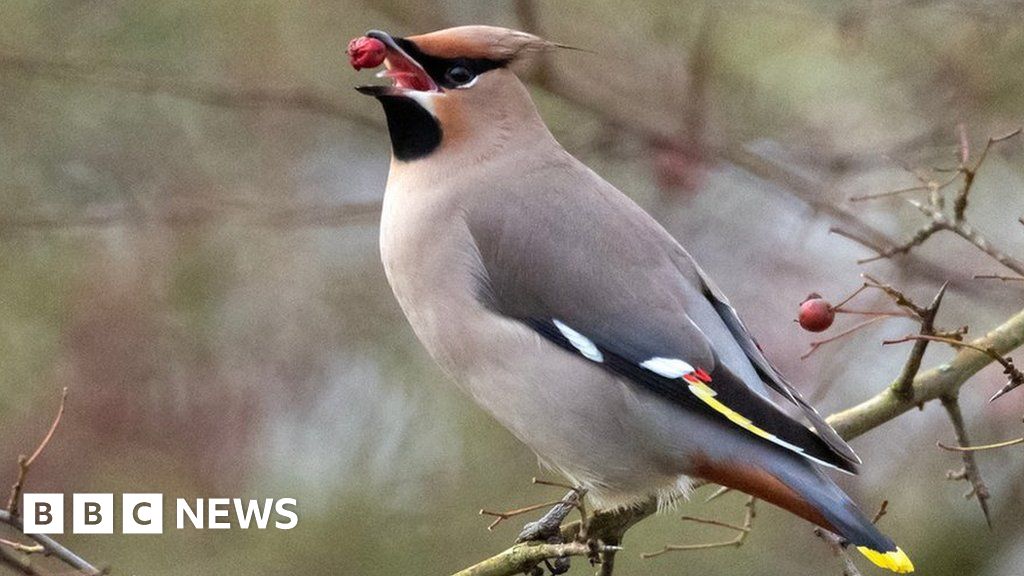
Hassop: Hundreds of 'exquisite' waxwings in the Peak District
Published: 11th Jan 2024

Hosted and licensed by Derbyshire Live
Historic empty Derbyshire hotel to become huge luxury family home
Published: 14th Dec 2021